
Because lost output is usually a handful of panels.
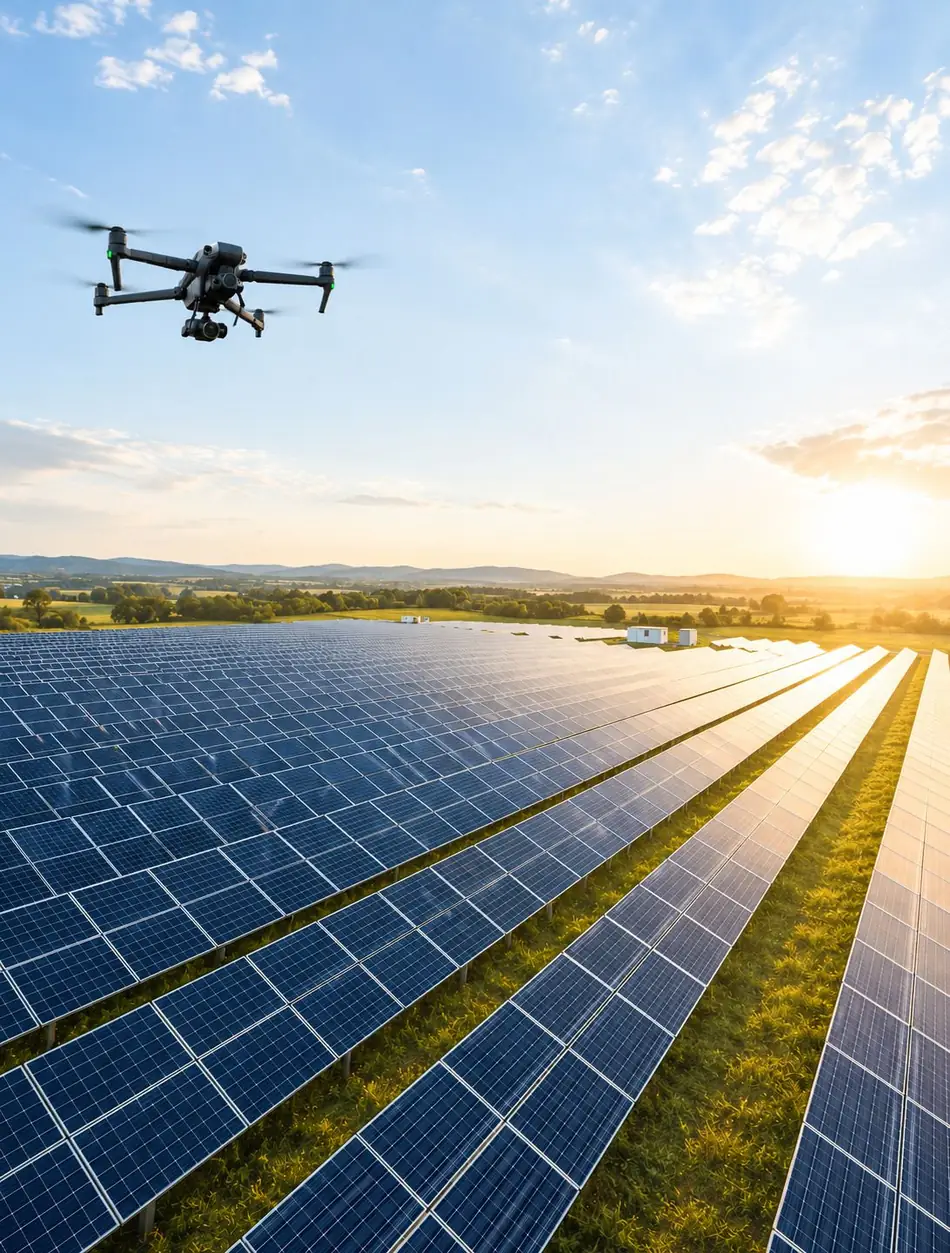
Thermal and high-resolution drone imagery reveals faulty, overheating or underperforming panels — a fast, accurate and safe inspection.
One faulty panel holds back the whole string.
A single overheating panel drags down its string — thermal imaging shows within minutes which one it is.
Manual inspection is impractical in a large park, and the monitoring system usually reports at string level only: you see that output is down, not where it is going. A thermal image shows the problem panel by panel.
After the flight you receive a thermal map, a high-resolution orthomosaic and an expert PDF report giving the location of each fault found and the recommended action.
- You operate a solar park
- You want regular checks on panel condition
- You want to minimise lost output
- You need a report for insurance or warranty
- Your panels sit on a large roof area
- Thermal map — faulty cells identified
- High-resolution orthomosaic
- Performance analysis
- Detailed measurement and statistical data
- Expert PDF report with recommendations
This is what a thermal panel inspection looks like.
Twenty seconds on how we find out from the air which panel is overheating or losing output.
What to expect
Guide prices. The exact quote depends on the area and the data you need — we settle that at the first call.
If weather or a technical issue makes the footage unusable, we come back at no extra cost. You never pay twice for the same data.
Once the faults are repaired, we return within a year free of charge to verify the panels are working as they should.
What people ask most.
Does the plant have to be shut down for the inspection?
No. The inspection happens while the plant is running — in fact faults only show up on the thermal camera when the panels are producing.
When is the best time to fly?
In clear, sunny weather near peak production, when the temperature difference between faulty and healthy cells is largest.
What does the thermal camera actually show?
Typically overheating cells and panel patches, patterns indicating bypass diode failure, shaded or soiled surfaces, and connection faults.
Can the report be used for a warranty claim?
The imagery and the report document the faults found, which gives you material for a warranty claim or an insurance case — the final decision, of course, rests with the other party.
Four steps to the finished report.
From the first conversation to the delivered data, we stay with you through the whole job.
Consultation
We agree on what you need, look at the site and set a flight date — by phone or email.
On-site flight
Precise, GPS-planned data capture by drone — RGB, multispectral or thermal imagery.
Processing
Photogrammetric and analytical processing: 3D model, orthomosaic, NDVI or thermal map.
Delivery
You receive the model, the maps and an expert PDF report digitally — clear and ready to use.
Let's inspect the park.
Tell us the installed capacity and when it was last inspected — we reply within one working day.
info@balagedrone.hu