
A precise picture of what your land is doing.
A digital twin of your fields, giving you accurate spatial data for farming decisions, analysis and planning — quickly and efficiently.
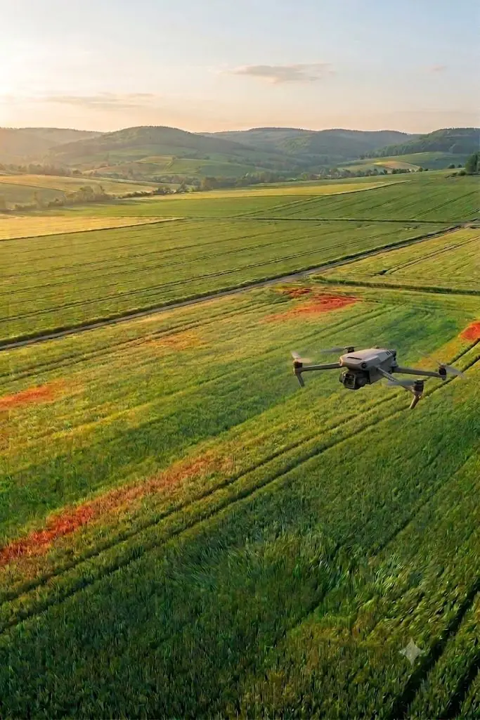
Not a pretty photo — measurable data about the field.
Crop health maps, accurate area measurement and application plans, produced from multispectral and RGB imagery.
A multispectral camera sees in bands the human eye cannot, which is why it reveals stressed, weaker patches at a point when everything still looks uniform from the edge of the field.
You do not get a pile of raw images: after processing you receive maps, zones and an expert PDF report that sets out the findings along with recommendations.
- Crop and soil condition monitoring
- Spotting stressed or diseased areas
- Checking sowing and growth
- Yield estimation
- Damage assessment (storm, game damage)
- Variable-rate application planning
- NDVI / vegetation index map
- High-resolution orthomosaic
- 3D terrain model
- Area and yield zones
- KML file for application systems
- Detailed PDF report
See what the drone sees above the field.
Twenty seconds from take-off to the finished map — so you can see, not just read, what an agricultural survey gives you.
What to expect
Guide prices. The exact quote depends on the area and the data you need — we settle that at the first call.
If weather or a technical issue makes the footage unusable, we come back at no extra cost. You never pay twice for the same data.
What people ask most.
How large does a field need to be to make this worthwhile?
Even a few hectares can be worth surveying, but the value really shows on large blocks, or where several fields close together can be flown in one visit. The quote depends on the area and the data you need.
When is the best time to fly?
During the growing season, ideally before a planned intervention such as fertiliser application or irrigation, so the data still informs the decision. For damage assessment, as soon as possible after the event.
What do I actually do with an NDVI map?
It shows, zone by zone, where the crop is weaker. That becomes the variable-rate application plan, and the KML file loads into most precision application systems.
Do I have to deal with flight permissions?
No. Flights are carried out under the applicable Hungarian drone regulations and we handle that side — you only confirm the site and the date.
Four steps to the finished report.
From the first conversation to the delivered data, we stay with you through the whole job.
Consultation
We agree on what you need, look at the site and set a flight date — by phone or email.
On-site flight
Precise, GPS-planned data capture by drone — RGB, multispectral or thermal imagery.
Processing
Photogrammetric and analytical processing: 3D model, orthomosaic, NDVI or thermal map.
Delivery
You receive the model, the maps and an expert PDF report digitally — clear and ready to use.
Let's look at your fields.
Tell us the size of the area and what you want to find out — we reply within one working day with options and pricing.
info@balagedrone.hu