What you can't see from the ground.
Precision aerial surveying for farmland, construction projects and solar parks — centimetre-accurate data, delivered fast.
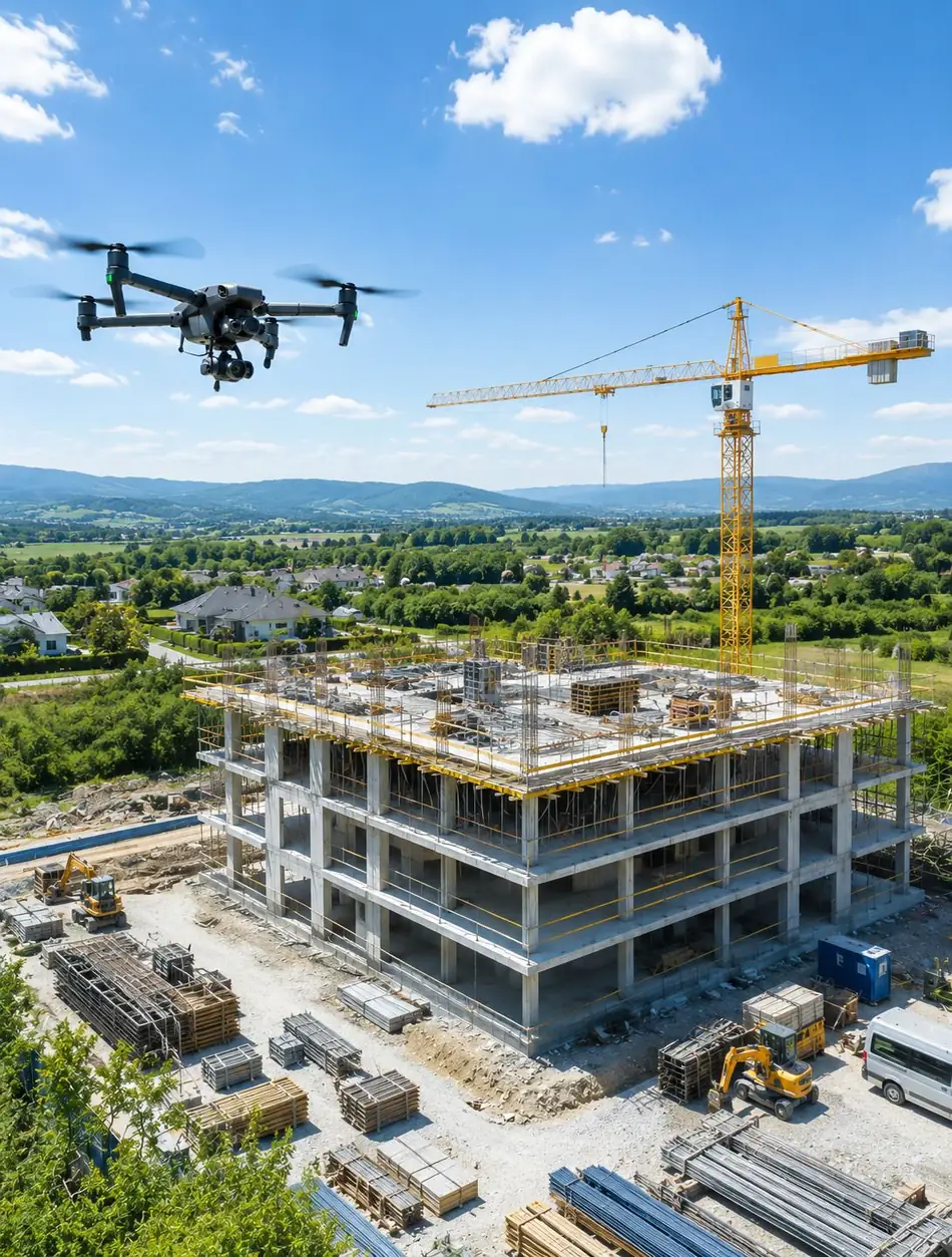
Four fields, one precise tool.
Multispectral, RGB and thermal drone imagery — we turn the raw capture into usable maps, models and reports. Click through for details.
Four steps to the finished report.
From the first conversation to the delivered data, we stay with you through the whole job.
Consultation
We agree on what you need, look at the site and set a flight date — by phone or email.
On-site flight
Precise, GPS-planned data capture by drone — RGB, multispectral or thermal imagery.
Processing
Photogrammetric and analytical processing: 3D model, orthomosaic, NDVI or thermal map.
Delivery
You receive the model, the maps and an expert PDF report digitally — clear and ready to use.
Not just footage — usable data.
A good aerial photo is not enough: every survey puts measurable, analysable data in your hands that you can act on directly.
Several sensors, one provider
RGB, multispectral and thermal capture from one place, with processing that fits together.
A finished, readable report
You do not receive raw data: every survey ends with an expert PDF report and recommendations.
Quick call-out
Flexible on-site scheduling, with a short lead time from the first enquiry to the flight.
Certifications, permits and the pilots in detail: About us
Fawn rescue — thermal drone flights before the first cut
In May and June roe deer fawns hide motionless in tall grass — exactly where the mowers work. A thermal overflight finds them in minutes so they can be moved to safety. As a volunteer pilot I do this free of charge, as part of the network of the Vadvilág Élõhelyrehabilitáló Alapítvány.
Ask for a survey quote.
Write a few lines about the site or the project and we will reply within one working day with the next steps.
info@balagedrone.huOr write to us directly
Fill in the form with a few details — we will reply by email shortly.
Thank you, we have received your message!
We will get back to you shortly by email or phone.
A confirmation email is on its way to . If you cannot find it, please check your Spam / Promotions folder too.