
Digital models accurate to the centimetre.
A digital copy of your site that you can measure on: distances, areas and volumes, with the whole area available to revisit on screen at any time.
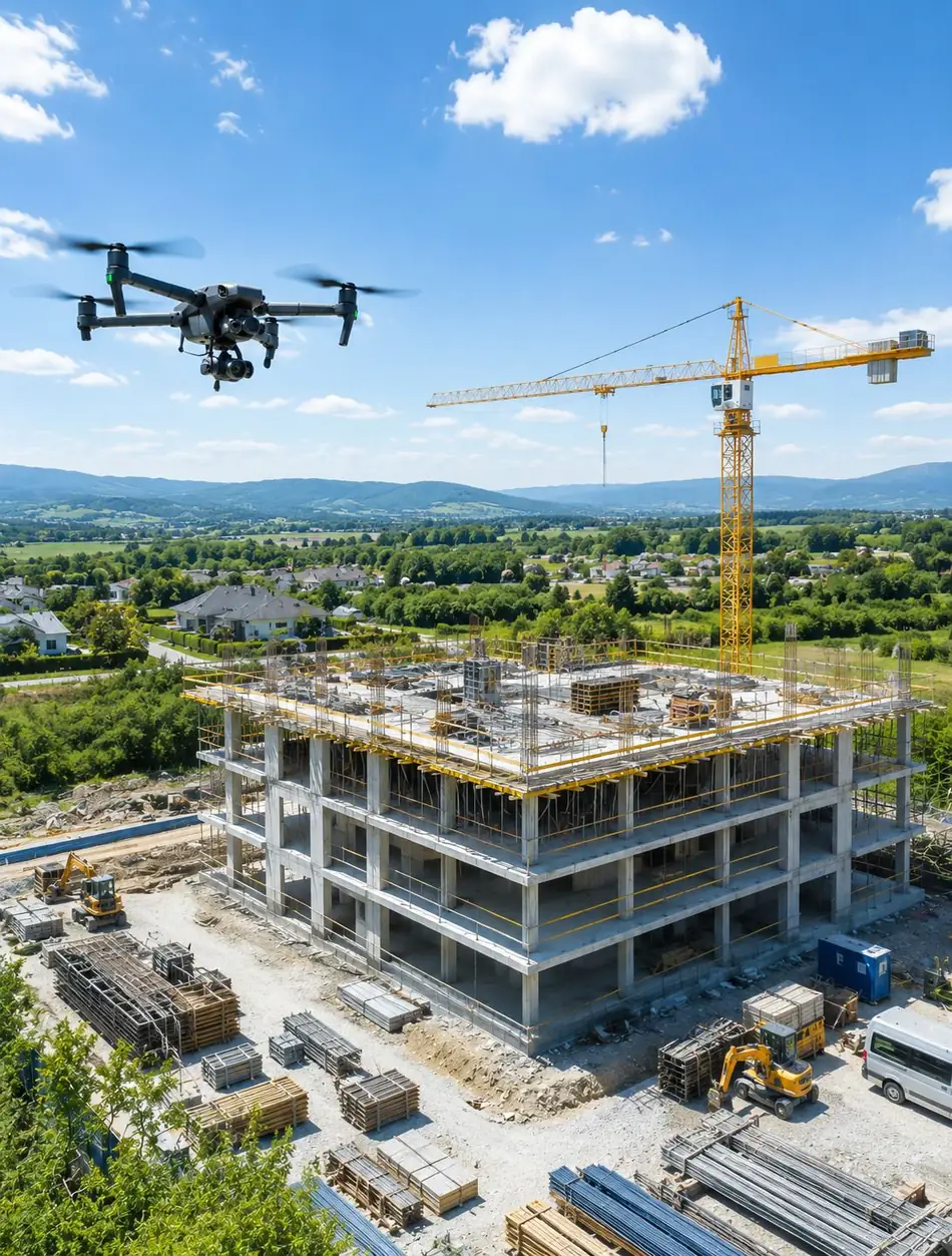
The site, in a form the design desk can use.
Photogrammetric processing of RGB imagery produces the 3D model, the orthomosaic and the point cloud — measurable and searchable.
Instead of walking the site, the whole area is documented in a single flight, including vantage points that would be dangerous or awkward to reach: roofs, silos, slopes and tall structures.
The model can be measured later. If it turns out a month from now that you needed a distance or the volume of a stockpile, there is no second visit — it is already in the data.
- Tracking construction progress
- Volume calculation (stockpiles, earthworks)
- Detailed property documentation
- Planning (solar, plot layout, terrain)
- Building energy and insulation inspection
- Interactive, rotatable 3D model
- High-resolution orthomosaic
- Point cloud — millions of measured points
- Measurements: distance, area, volume
- Detailed PDF report
What to expect
Guide prices. The exact quote depends on the area and the data you need — we settle that at the first call.
If weather or a technical issue makes the footage unusable, we come back at no extra cost. You never pay twice for the same data.
What people ask most.
How accurate is the model?
GPS-planned capture produces a model accurate to the centimetre range, on which distance, area and volume can all be measured.
What formats do I get?
An interactive, rotatable 3D model, a high-resolution orthomosaic and a point cloud, plus a PDF report summarising the measurements.
Can it track an ongoing construction project?
Yes — that is the most common use. Repeat flights over the same area produce comparable imagery, documenting progress and earthwork volumes.
Is it suitable for checking building insulation?
Yes. Thermal imagery reveals heat bridges and insulation faults; this is best scheduled for the colder part of the year.
Four steps to the finished report.
From the first conversation to the delivered data, we stay with you through the whole job.
Consultation
We agree on what you need, look at the site and set a flight date — by phone or email.
On-site flight
Precise, GPS-planned data capture by drone — RGB, multispectral or thermal imagery.
Processing
Photogrammetric and analytical processing: 3D model, orthomosaic, NDVI or thermal map.
Delivery
You receive the model, the maps and an expert PDF report digitally — clear and ready to use.
Let's model the project.
Tell us the size of the site and what the data is for — we reply within one working day with options and pricing.
info@balagedrone.hu